


 |
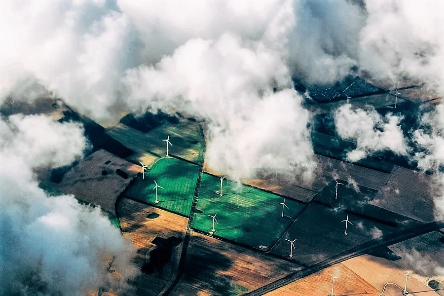
| Representational Image (credits - Thomas Richter on Unsplash) |
Ambee launches ‘SmartFarming Data’ to increase agriculture productivity using environmental intelligence
Ambee’s ‘SmartFarming Data’ is a suite of agro-weather, satellite imagery, and farm analytics that help farmers monitor and manage farms.
Ambee, an environmental intelligence company that supplies hyperlocal environmental data in real-time, has launched ‘SmartFarming Data’, a new offering that brings data science techniques to farmers and agribusinesses to improve the health of their farms. ‘SmartFarming Data’ by Ambee will help farmers understand their farms better, mitigate the impact of climate change on agriculture, take measures to monitor and mitigate soil degradation, and increase agricultural productivity using environmental data.A recent report by the United Nations indicates that the world population is expected to grow to 10 Billion by 2050. According to the same report, the world loses around 12 million hectares of productive land each year, resulting in widespread implications such as poor agricultural yields, food scarcity, forced migration, and more. Year-on-year there has been a 40% decline in crop yield and crop quality due to depleting soil nutrition, climate change, and intensive farming techniques that cause significant greenhouse gas emissions.
 |
There is a dire need to confront the requirement of increased agricultural production to feed a growing population. The answer as we have come to realise is not aggressive over farming, but sustainable agricultural practices while soldiering through climate change, depletion of natural resources, increased erosion, and more. We have to ensure access to a sufficient supply of healthy, diverse, and safe food for a growing global population while limiting the impact on the environment and coping with climate change. In order to do so, we need to adopt better and smarter farming techniques that not only improve production capacity but also minimise the overuse of water resources, chemicals, and other unsustainable practices that impact the environment.
‘SmartFarming Data’ by Ambee has been designed with a two-fold goal in mind - one, to increase agricultural productivity using environmental data, two, to assist in the implementation of sustainable farming practices to reduce the environmental impact of agriculture. The product provides historical and forecast agro-weather data to improve crop yield, detailed soil data to monitor soil productivity and mitigate the impact of climate change on agriculture. Furthermore, the product can also be used by agri companies to make critical business decisions based on historical and forecast yield quality, and researchers can use SmartFarming Data to find solutions to agricultural concerns.
Commenting on the new offering, Madhusudhan Anand, CTO and Co-Founder, Ambee, said, “The impact of climate-related events is universal. It affects everyone, everywhere, and in every industry. Among the many possible concerns caused by climate change, the threats to global agriculture stand out as one of the most serious. It impacts agricultural yield which will, in turn, cause severe food shortages. The food and agriculture organisation of the United Nations states that the global supply of food will need to increase by 70% by 2050 to meet the demands of the growing population. In order to cater to this demand, farmers need to have an informed and intimate understanding of their fields while ensuring efficient and responsible utilisation of natural resources.”
“At Ambee, we are on a mission to address the interlinked challenges of food security and climate change. Through our ‘SmartFarming Data’, our goal is to create easy access to environmental intelligence to help our farmers grow more with efficient utilisation of natural resources'' added Madhusudhan Anand.
Product features of ‘SmartFarming Data’
- Hyperlocal agro-weather data: Historical and forecast weather data to improve yield.
- Satellite imagery: Satellite images in true and false colours, high resolution, and downloadable formats.
- Real-time soil data: Soil data to monitor soil fertility, control moisture, and temperature level.
- NDVI data: NDVI (Normalised Difference Vegetation Index) and EVI (Enhanced Vegetation Index) are typically used to identify vegetation greenness. Ambee’s ‘SmartFarming Data’ offers NDVI and EVI data to assess vegetation health and behaviour.
- Farmers and Agricultural companies can use ‘SmartFarming Data’ for output enhancement and predictability.
- Crop insurance providers and financial lending institutions can use this for risk prediction and management.
- Government agri agencies and advisory can use this information for output predictability and implementation of sustainable agriculture practices.
- Seed production companies can use this information for quality maximization.


 IndianWeb2.com is an independent digital media platform for business, entrepreneurship, science, technology, startups, gadgets and climate change news & reviews.

No comments
Post a Comment